Have you ever wondered about the definitive line that separates the vast continents of Europe and Asia? It’s a question that sparks geographical curiosity and is a fundamental piece of general knowledge. For aspiring candidates of demanding competitive examinations like UPSC, SSC, PSC, NID, NIFT, and other government recruitment tests, understanding these critical geographical distinctions is not just fascinating, but essential for success. This piece delves into the geographical landmark that conventionally marks this monumental continental divide, offering insights crucial for your exam preparation.
The Ural River: A Natural Boundary and Geographical Landmark
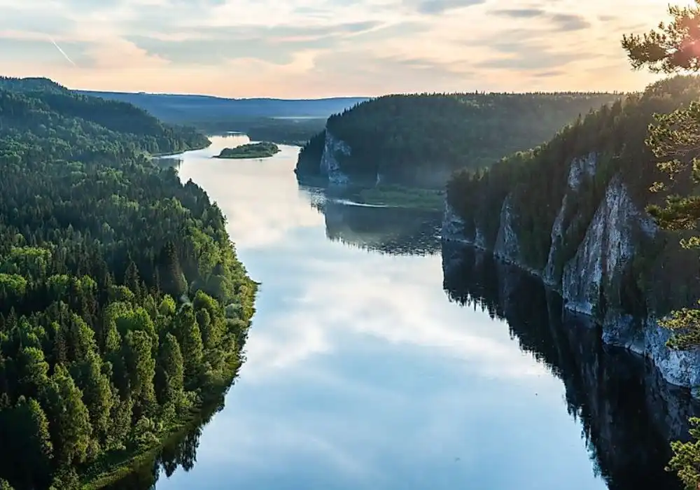
At the heart of this continental demarcation lies the Ural River. This remarkable waterway is widely recognized as the primary natural boundary separating the continents of Europe and Asia. Originating in the southern Ural Mountains, the river embarks on an extensive journey, flowing approximately 2,428 kilometers (1,509 miles) before finally emptying into the vast expanse of the Caspian Sea. Its impressive length makes it the third-longest river in Europe, a testament to its significant geographical presence.
The journey of the Ural River is a fascinating cross-continental tale. It courses through two prominent nations: Russia and Kazakhstan. As it meanders southwards, it effectively draws an invisible line, with territories to its west traditionally considered part of Europe and those to its east belonging to Asia. This conventional division is not just an arbitrary line on a map; it represents centuries of geographical understanding and cultural distinctions. For students preparing for geography sections of competitive exams, identifying the Ural River’s origin, path, and destination is key to mastering continental boundaries.
Why This River? The Significance of a Continental Divide
The designation of the Ural River as a continental boundary is deeply rooted in geographical convention and historical acceptance. While the exact lines separating continents can sometimes be subject to debate among geographers, prominent features like major mountain ranges and substantial rivers often provide clear, logical demarcations. The Ural River, coupled with the Ural Mountains to its north, forms a cohesive and largely unambiguous natural barrier that has been historically adopted as the boundary. Understanding *why* certain features are chosen for these roles helps build a deeper conceptual understanding, moving beyond mere memorization, which is invaluable for analytical questions in exams. It highlights how physical geography plays a crucial role in defining human and political landscapes.
Beyond the Maps: Relevance for Competitive Exams
For anyone preparing for government and entrance examinations, a solid grasp of geographical facts like the role of the Ural River is indispensable. Questions related to continental boundaries, major rivers, and their associated countries frequently appear in the General Knowledge and Geography sections of exams. You might encounter questions testing your knowledge of the river’s flow direction, the countries it traverses, its ultimate destination, or even its relative size among European rivers. Furthermore, understanding such geographical markers enhances your ability to interpret maps and understand geopolitical contexts, which are often subjects of current affairs and essay questions. Myentrance.in provides interactive examinations, daily news quizzes, and static GK resources that regularly feature such pivotal geographical insights, ensuring you are well-prepared for every type of question.
Frequently Asked Questions
Q1: What is the primary river that forms the conventional border between Europe and Asia?
A1: The Ural River is widely recognized as the primary geographical feature that forms the conventional boundary between the continents of Europe and Asia.
Q2: Which countries does the Ural River flow through during its course?
A2: The Ural River flows through two major countries: Russia and Kazakhstan, marking the continental divide as it passes through their territories.
Q3: Where does the Ural River ultimately terminate its journey?
A3: After its extensive flow, the Ural River finally empties into the Caspian Sea, which is the world’s largest inland body of water.
Q4: Are there other significant geographical features that are part of the Europe-Asia boundary?
A4: Yes, besides the Ural River, the Ural Mountains to the north of the river are also a major part of the conventional Europe-Asia boundary. Other areas, like the Caucasus Mountains, are sometimes included in various definitions of the boundary further south.
Q5: Why is understanding continental boundaries like the one formed by the Ural River important for competitive exams?
A5: Knowledge of continental boundaries is crucial for competitive exams as it frequently appears in General Knowledge, Geography, and Current Affairs sections. It tests a candidate’s understanding of global geography, map reading skills, and the foundational physical features that define our world, often forming the basis for more complex geopolitical questions.