Select Language
GPS Interference Crisis: How Air & Sea Transport Faces Hidden Threats
GPS interference is crippling global air and sea transport, causing flight diversions and ship collisions. This complete guide simplifies the tech behind these disruptions – vital current affairs for entrance exams like SSC, PSC, NID, NIFT, and UCEED.
The Invisible Threat in Our Skies and Seas
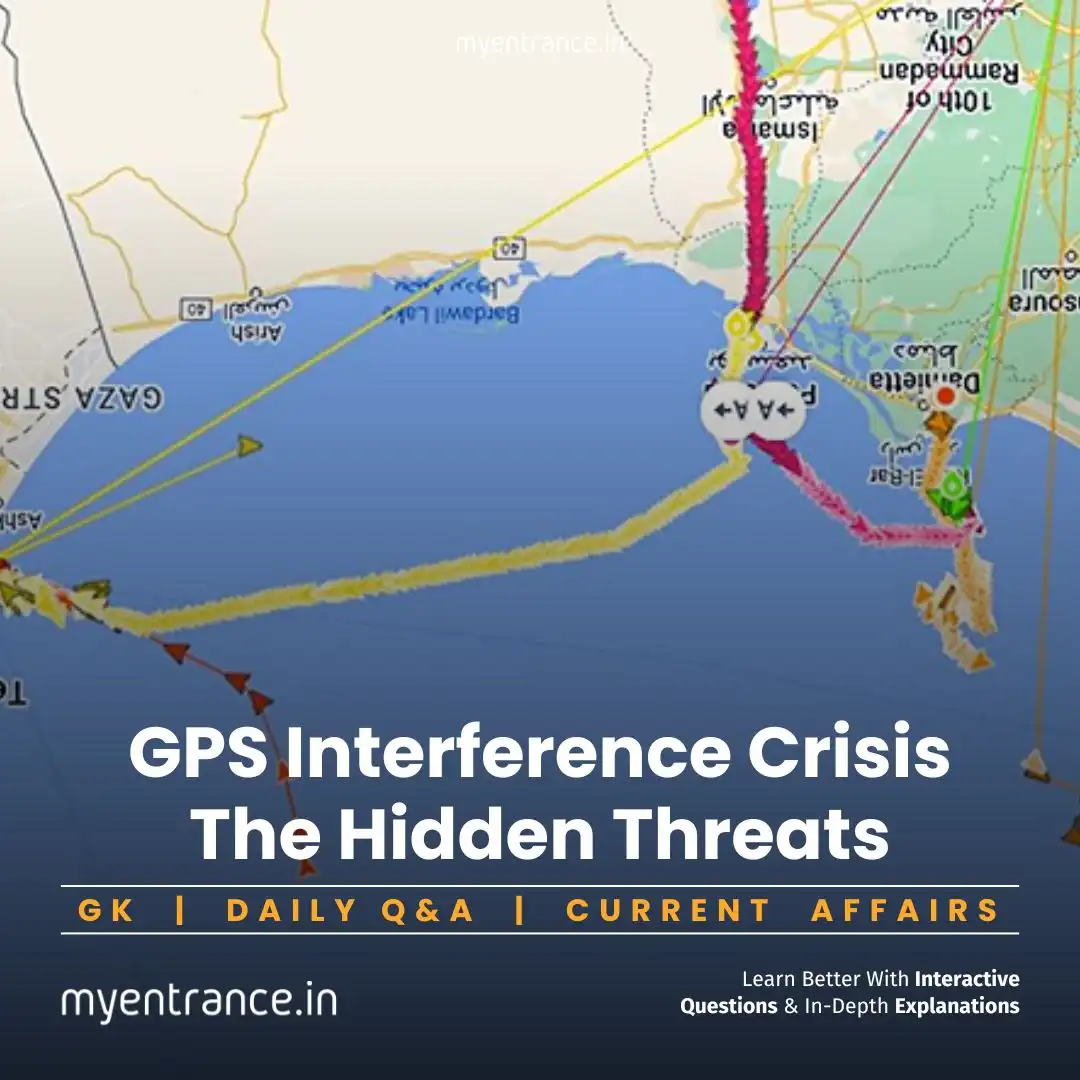
Imagine a Delhi-Jammu flight suddenly turning back mid-air, or cargo ships colliding at busy sea lanes like the Strait of Hormuz. These aren’t accidents but consequences of GPS interference – deliberate attacks on navigation systems. For students, this isn’t just news; it’s a critical General Science and Current Affairs topic for design entrance exams.
What’s Happening?
Recent incidents expose a pattern:
Flights rerouted without warning
Ships running aground near ports
Tankers colliding in strategic waterways
The Two Faces of GPS Sabotage:
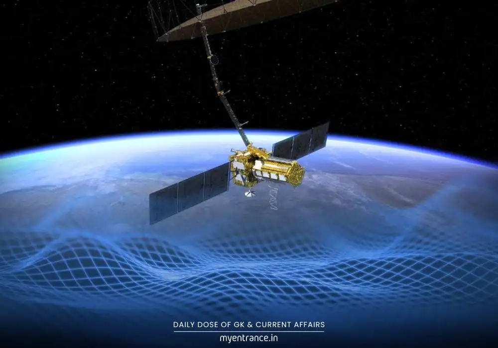
GPS Jamming: Overpowers satellite signals with “noise,” making navigation systems go blind.
GPS Spoofing: Tricks devices with fake coordinates – like convincing a pilot they’re 100 miles off-course.
Why Should You Care?
Conflict Zones Are Hotspots: Regions like the Middle East see 700+ spoofing incidents daily.
Beyond Transport: Power grids, financial systems, and emergency services also rely on GPS timing.
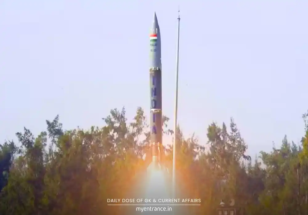
India’s Backup Plan: Our military uses NavIC (India’s homegrown GPS alternative) to counter disruptions.
Geopolitical Tensions Fuel the Crisis
Nation-states often deploy jamming during conflicts, turning navigation chaos into a weapon. For exam aspirants, understanding this link between tech and global politics is crucial.
Solutions in Action
Aircraft Backup Systems: Inertial Navigation (gyroscopes + accelerometers) and ground-based VOR radio beacons.
Ships: Radar and celestial navigation backups.
India’s Edge: ISRO’s NavIC covers 1,500 km beyond borders – a key exam talking point!
Sample Exam Q&A:
Q: How does GPS spoofing differ from jamming?
A: Spoofing feeds false coordinates to deceive systems, while jamming blocks signals entirely with radio noise.
Q: Name India’s indigenous alternative to GPS.
A: Navigation with Indian Constellation (NavIC), developed by ISRO.
Q: Which critical sea lane recently saw GPS-related tanker collisions?
A: The Strait of Hormuz – a global oil transit chokepoint.
Q: List two backup systems aircraft use during GPS failures.
A: Inertial Navigation Systems (INS) and VHF Omnidirectional Range (VOR).
Q: Why are solar flares a natural cause of GPS disruption?
A: They create ionospheric disturbances that distort satellite signals.
Most Predicted Questions
Comprehensive study materials, Expert-guided tips & tricks, Mock tests and instant results.
Start your SSC, NIFT, NID, FDDI, PSC journey today with MyEntrance, your ultimate online coaching platform.
Read More Topics