The Secret Geography of Kerala: Westward Flowing Rivers
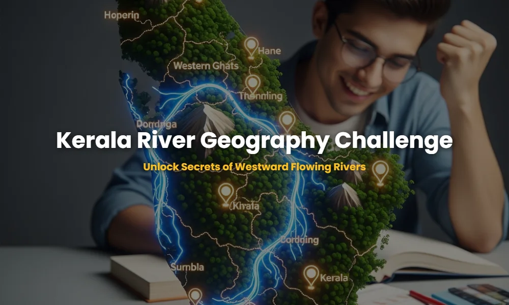
Mastering the detailed geography of Kerala focusing on the origin and length of westward flowing rivers is the ultimate differentiator for Kerala PSC candidates. With 41 rivers flowing west towards the Lakshadweep Sea, their topographic nuances and hydrologic profiles form a core part of the Sahyadri ecosystem. This guide provides an immersive experience to memorize these details effectively.
🚀 Key Takeaways
- 41 Westward Rivers: Total number of rivers flowing towards the Arabian Sea in Kerala.
- Periyar: The longest river at 244 km, originating from Sivagiri Hills.
- Bharathapuzha: Second longest (209 km), originating from Anaimalai Hills.
- Pamba: The third longest (176 km), originating from Pulachimalai.
- Western Ghats: The primary source for all major westward rivers.
The Interactive Memory Hack: 12 Critical River Cards
Hover over the cards below to reveal the origin and length of the most important westward flowing rivers. If you cannot recall these instantly, your Kerala PSC preparation might be at risk.
Length: 244 km
Length: 209 km
Length: 176 km
Length: 169 km
Length: 130 km
Length: 128 km
Length: 121 km
Length: 121 km
Length: 110 km
Length: 105 km
Length: 92 km
Length: 78 km
The Secret Origins of Kerala’s Lifelines
Kerala’s westward flowing rivers originate primarily from the Western Ghats (Sahyadri), with the Periyar starting at Sivagiri Hills, Bharathapuzha at Anaimalai, and Pamba at Pulachimalai. These origins are often located in high-altitude evergreen forests, making them vital for the state’s ecological balance and water security.
Understanding the exact hill ranges is crucial because the Western Ghats geography creates a rain-shadow effect and defines the drainage density. For instance, the Periyar, known as the ‘Lifeline of Kerala,’ flows through Idukki and Ernakulam, its volume sustained by the high rainfall in the Sivagiri forest area. On the other hand, the Bharathapuzha, despite being the second longest, faces significant drying issues due to its origin in the rain-shadow regions of the Anaimalai hills.
💡 Pro-Tip: The ‘Three-Sister’ Link
Don’t confuse the origins of Pamba, Achankovil, and Manimala. They are often tested together because they all drain into the Vembanad Lake system. Pamba starts at Pulachimalai, while Achankovil starts at Pasukida Mettu!
Are You Losing Marks on River Lengths?
The lengths of Kerala’s westward flowing rivers range from the 244 km Periyar to the short 12 km Uppala river. For competitive exams, memorizing the top 10 lengths is mandatory as examiners frequently ask to arrange them in descending or ascending order of their flow distance.
A common mistake is forgetting that several rivers have almost identical lengths. For example, both the Kallada and Muvattupuzha rivers are approximately 121 km long. Distinguishing them requires knowledge of their catchment areas; Kallada dominates the Kollam district, while Muvattupuzha is central to Ernakulam and Kottayam. Furthermore, the hydroelectric projects situated on these rivers often relate directly to their flow length and head potential.
The Definitive River Comparison Table
This table summarizes the data points you must memorize to win Google-level knowledge on Kerala’s river systems. Ensure you note the specific hill ranges mentioned as they are the most repeated PSC questions.
| River Name | Origin Location | Length (km) |
|---|---|---|
| Periyar | Sivagiri Hills | 244 |
| Bharathapuzha | Anaimalai Hills | 209 |
| Pamba | Pulachimalai | 176 |
| Chaliyar | Elambalari Hills | 169 |
| Kadalundi | Karuvarakundu | 130 |
| Achankovil | Pasukida Mettu | 128 |
The Sneaky Questions You Cannot Afford to Miss
Examiners often pivot from standard questions to focus on the “north-most” or “south-most” westward rivers. Failing to identify the Manjeswaram river as the north-most (16 km) can cost you a rank.
❓ Which is the shortest westward flowing river in Kerala?
The Manjeswaram River is the shortest westward flowing river in Kerala, measuring only 16 km in length. It flows through the Kasaragod district.
❓ What is the ‘Nila’ river also known as?
Bharathapuzha is famously known as the Nila River. It is the second-longest river in Kerala and has historical and cultural significance in the Valluvanad region.
❓ Where does the Chaliyar originate?
The Chaliyar river, unique for not drying up in summer as much as others, originates from the Elambalari Hills in the Nilgiri district of Tamil Nadu (bordering Kerala).
Need Personalized Guidance for Kerala PSC?
Don’t let geography be the reason you miss out on your dream government job.
💬 Chat with our Experts on WhatsApp (+91 9526806124)