Translate Language
Can High-Resolution Satellites Counter China-Pakistan Surveillance Threats?
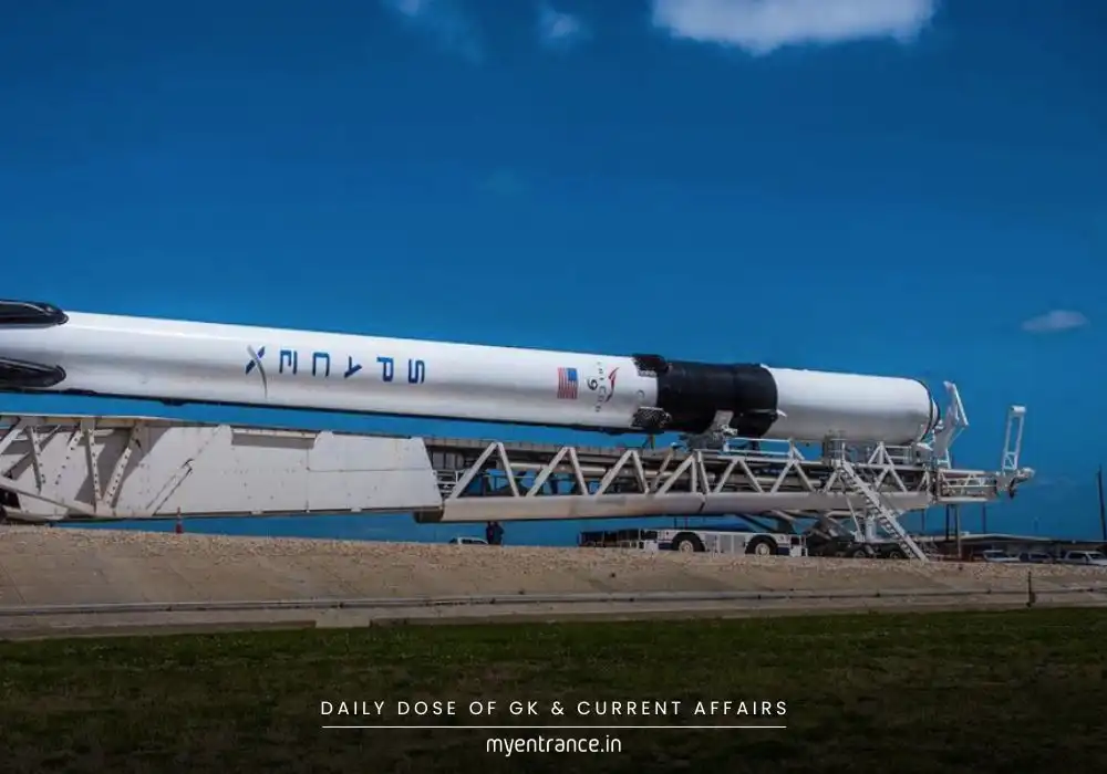
To counter evolving security threats, India is negotiating with global commercial satellite providers for advanced high-resolution imagery. This urgency follows intelligence that China supplied real-time satellite data to Pakistan during Operation Sindoor. The move aims to overcome limitations in India’s current satellite network and enable round-the-clock surveillance.

High-resolution satellite imagery is now a battlefield necessity, and India isn’t taking chances. After Operation Sindoor in May 2024—where China allegedly provided live satellite intelligence to Pakistan—the Indian government has initiated talks with global earth-observation giants. The goal? To access cutting-edge satellite imagery that offers real-time insights during conflicts.
Senior Army officials confirm that Pakistan used satellite inputs (likely from China) to track Indian military movements during DGMO-level talks. As one official stated, “We’re deepening surveillance by collaborating with commercial satellite providers.”* The focus is on companies like Maxar Technologies, whose satellites capture stunning 30-centimetre resolution images—clear enough to spot artillery, vehicles, or hidden infrastructure.
While India’s Cartosat and RISAT satellites have aided defense strategy and strike assessments, they face critical gaps:
Cartosat-3’s resolution is currently ~50 cm (not the planned 30 cm).
Limited satellite numbers reduce “revisit frequency,” hindering real-time monitoring of fast-moving conflicts.
To bridge this gap, India is fast-tracking the SBS-III (Space Based Surveillance) program:
52 new satellites will launch between 2025–2029.
Enhanced imaging and all-weather capabilities for land/sea borders.
A ₹24,000 crore ($3.2B) project with ISRO and private firms.
The Defence Space Agency will operate this network, ensuring seamless coordination.
Sample Questions & Answers for Competitive Exams:
Q: What prompted India to seek global satellite imagery?
A: Intelligence that China provided real-time satellite data to Pakistan during Operation Sindoor (May 2024).
Q: Which company’s satellites offer 30-cm resolution imagery?
A: Maxar Technologies.
Q: Identify two limitations of India’s Cartosat-3 satellite.
A: Reduced resolution (~50 cm instead of 30 cm) and low revisit frequency due to solo operation.
Q: What is the SBS-III program’s objective?
A: Deploy 52 advanced surveillance satellites by 2029 for enhanced border monitoring.
Q: Which agency will oversee the SBS-III satellite operations?
A: The Defence Space Agency (DSA).
Why is This Important for Exams?
This topic is critical for UPSC, SSC, KAS, and defense exams for several reasons:
Current Affairs Relevance: Covers India’s defense modernization, space technology, and geopolitics (China-Pakistan nexus).
Technology & Security: Highlights applications of satellite imagery in warfare—a growing theme in GS Paper III (UPSC).
Government Initiatives: SBS-III exemplifies public-private partnerships in space, aligning with “Atmanirbhar Bharat” and Science & Tech syllabi.
International Relations: Demonstrates how global collaborations address security gaps, useful for IR and essay papers.
Fact-Based Questions: Key terms like “Operation Sindoor,” “SBS-III,” and “30-cm resolution” frequently appear in MCQs.
Get 3 Months Free Access for SSC, PSC, NIFT & NID
Boost your exam prep!
Use offer code WELCOME28 to get 3 months free subscription. Start preparing today!
Read More Topics