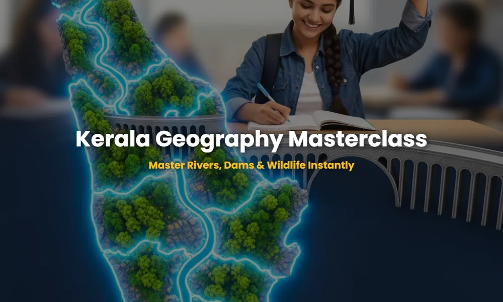
Are You Ignoring the High-Yield Kerala Geography Facts?
Kerala Geography Facts form the backbone of the Kerala PSC KAS, Degree Level, and LDC exams. Many aspirants lose easy marks because they focus only on the surface-level details while the Board shifts towards analytical and interconnected questions regarding the state’s drainage system and ecological zones. Understanding the Western Ghats’ influence on our 44 rivers is not just a lesson; it’s your ticket to a top rank.
🚀 Key Takeaways
- Master the 44 rivers of Kerala (41 West-flowing, 3 East-flowing).
- Identify the origin and length of major lifelines like Periyar and Bharathapuzha.
- Learn the specific years and ecological importance of National Parks.
- Memorize dam types and their specific river associations.
- Understand the LSI terms like ‘Kuttanad’, ‘Palakkad Gap’, and ‘Anamudi’.
Why Are You Ignoring These Periyar River Secrets?
The Periyar River is the longest river in Kerala, stretching 244 km, and serves as the state’s primary source of drinking water and industrial power. Known as the ‘Lifeline of Kerala,’ it originates from the Sivagiri peaks of the Sundaramala and flows through Idukki and Ernakulam districts before reaching the Lakshadweep Sea. For anyone targeting Kerala PSC syllabus mastery, knowing the Periyar’s tributaries like the Mullayar and Cheruthoni is non-negotiable.
While Periyar gets the spotlight, many forget the Bharathapuzha (Nila), the second longest river. Originating from the Anamalai hills, it is the cultural heartbeat of Kerala. It flows through Palakkad, Malappuram, and Thrissur. Did you know the river Chaliyar is the only one in Kerala with significant gold deposits in its riverbed? These are the nuances examiners love to exploit.
💡 Click to Reveal: Which is the shortest river in Kerala?
The Manjeswaram River (16 km) is technically the shortest, though some sources mention the Ayiroor River (17 km). Stick to Manjeswaram for most PSC contexts unless Ayiroor is the only option.
Will This Dam Data Cost You Your Rank?
The Idukki Arch Dam, located between the Kuravan and Kurathi hills, is the only double-curvature arch dam in Asia and a massive contributor to Kerala’s power grid. Its construction was supported by Canada, a fact frequently asked in current affairs and history sections. Understanding the distinction between a ‘Gravity Dam’ and an ‘Arch Dam’ is critical for technical-level exams.
Then there is the Mullaperiyar Dam, a historical point of contention. Built in 1895 based on a 999-year lease, it sits on the Periyar River. Also, pay attention to the Banasura Sagar Dam in Wayanad; it is India’s largest earth dam and the second-largest in Asia. It is built across the Karamanathodu, a tributary of the Kabani River.
Interactive Kerala Geography Flashcard Challenge
Hover or tap on the cards below to reveal the answers!
Are These Sanctuary Boundaries Your Secret Weapon?
Kerala’s Wildlife Sanctuaries and National Parks are hotspots of biodiversity that frequently appear in ‘Match the Following’ questions. The Periyar National Park is the oldest, established in 1950 (declared a National Park in 1982). It is famous for its wild elephants and the tiger reserve. To master Kerala geography notes, you must link the sanctuary to the river it protects.
Silent Valley National Park, untouched by humans for centuries, is the home of the endangered Lion-tailed Macaque. It is located in Palakkad and is drained by the Kunthipuzha. If you miss the fact that Eravikulam was the first National Park in the state, you are handing over points to your competitors. Always cross-check the districts; for instance, the Chinnar Wildlife Sanctuary is in Idukki, whereas Wayanad Wildlife Sanctuary (Muthanga) is the second largest in Kerala.
💡 Click to Reveal: Which is the first Bird Sanctuary in Kerala?
Thattekkad Bird Sanctuary (Salim Ali Bird Sanctuary) in Ernakulam, established in 1983, was the first of its kind in the state.
The Ultimate Kerala Geography Quick-Check Table
The following table summarizes the data most likely to appear in the next PSC exam. Save this for last-minute revisions to ensure zero confusion between similar names.
| Feature | Name | Quick Fact |
|---|---|---|
| Longest River | Periyar | 244 km; 25% of power |
| Largest National Park | Periyar | 350 sq km (Core) |
| Highest Peak | Anamudi | 2695 m; Idukki |
| East Flowing River | Bhavani | Longest of the three |
| Lowest Point | Kuttanad | Below sea level farming |