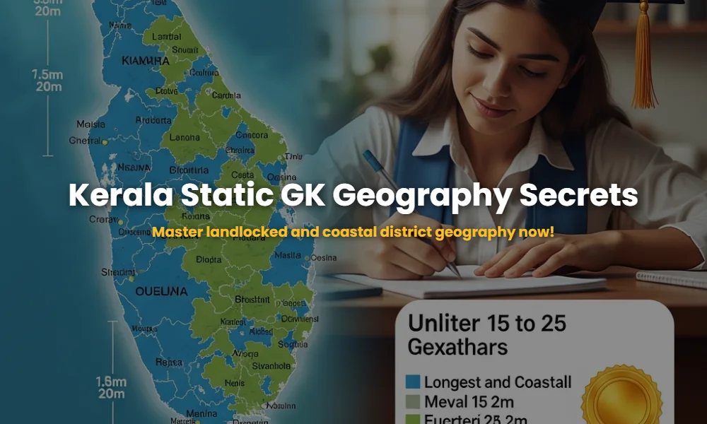
How can you master the Static GK of landlocked districts and coastline secrets for Kerala PSC?
Kerala’s geography is a cornerstone of the Kerala Public Service Commission (KPSC) examinations. Whether it is the KAS, Secretariat Assistant, or University LDC exams, understanding the spatial distribution of Kerala’s 14 districts is non-negotiable. To master the Static GK regarding landlocked and coastal districts, you must move beyond simple memorization and understand the strategic significance of each boundary. This guide provides the high-level expertise needed to navigate these questions with 100% accuracy.
🚀 Key Takeaways
- Kerala has 14 districts: 9 are coastal and 5 are landlocked.
- Kannur and Kasaragod are frequently cited in discussions of the longest coastlines.
- Malappuram holds the record for the shortest coastline in Kerala.
- Landlocked districts like Idukki and Palakkad are vital for mountain-pass related questions.
- Static GK questions often focus on ‘districts with no sea border’ and ‘districts with no forest area’.
Table of Contents
Why is Static GK regarding coastal geography the ultimate game-changer for your rank?
Static GK covering the physical geography of Kerala is the backbone of your preparation because it never changes, providing a guaranteed point-score in every exam. Aspirants who master the nuances of landlocked versus coastal districts gain a distinct advantage in ‘Odd Man Out’ or ‘Statement-Type’ questions. In the current competitive landscape, missing even a single mark on such fundamental topics can push your rank back by thousands.
Understanding the coastline is not just about the length but also about the districts that define the maritime economy. To succeed, you should integrate these facts with essential Kerala geography notes to build a comprehensive mental map of the state. Expert examiners often hide trick questions about the ‘number’ of coastal districts or the specific district that lacks a coastline despite being in the coastal belt (like Kottayam).
Which landlocked districts hold the keys to the most confusing PSC questions?
The landlocked districts of Kerala are those that do not share a boundary with the Arabian Sea. There are 5 landlocked districts: Wayanad, Palakkad, Idukki, Kottayam, and Pathanamthitta. Each of these districts serves a unique role in the Static GK syllabus, especially regarding their borders with neighboring states like Tamil Nadu and Karnataka.
- Wayanad: A plateau district bordering both Karnataka and Tamil Nadu.
- Palakkad: The ‘Gateway to Kerala’ through the Palakkad Gap; it is the largest district in land area (often competing with Idukki depending on new data).
- Idukki: Known for the highest peaks and largest dams, it is a purely mountainous landlocked district.
- Kottayam: The only district in Kerala that borders no other state and has no sea coast. This is a recurring PSC question!
- Pathanamthitta: The pilgrim capital, purely inland with thick forest covers.
💡 Click to Reveal: The Most Isolated District
Kottayam is unique because it is the only district that does not touch the sea and also does not touch any other state (completely surrounded by other Kerala districts).
Are you missing out on the exact measurements of the longest and shortest coastlines?
The longest coastline in Kerala is attributed to Kannur (some sources suggest Kasaragod, but Kannur is the traditional PSC answer with approx 82km), while the shortest coastline belongs to Malappuram. Kerala’s total coastline is approximately 590 km, stretching across 9 districts. Knowing the descending order of coastline lengths is a classic strategy to tackle difficult ranking questions.
For those diving deep into district-wise GK breakdowns, it is crucial to remember that Alappuzha is the district with the most extensive coastal culture, yet it is not the longest in terms of straight-line coastal measurement. Malappuram’s tiny coastal strip of roughly 23 km is a favorite ‘trap’ for examiners who expect students to assume all coastal districts have long beaches.
The Hidden Coastal Data You Must Memorize Right Now!
This table compares the coastal vs landlocked status and highlights the critical ‘Length’ data that separates the winners from the losers in Kerala PSC. Study this carefully as it contains the most frequently asked data points.
| District Name | Status | Coastline Feature | Special GK Fact |
|---|---|---|---|
| Kannur | Coastal | Longest (Approx 82km) | Land of Looms and Lores |
| Malappuram | Coastal | Shortest (Approx 23km) | Most populous district |
| Kottayam | Landlocked | None | First 100% literate city |
| Idukki | Landlocked | None | Largest Landlocked District |
| Alappuzha | Coastal | Extensive | No forest area district |
The Sneaky Examiner Secrets: Coastal Trivia You Can’t Afford to Skip!
Did you know that out of the 14 districts, precisely 9 touch the Arabian Sea? If you are analyzing previous year PSC question patterns, you will notice a trend: examiners love asking about the district that has both the Western Ghats and the Sea. While many coastal districts touch the foothills, districts like Thiruvananthapuram and Kollam offer a stark contrast between coastal plains and highland borders.
Another insider tip: focus on Alappuzha. While it has a significant coastline, its defining Static GK feature is being the only district in Kerala with zero forest area. This fact is often coupled with coastline questions to confuse the aspirant.
💡 Click to Reveal: Coastal Districts Sequence
South to North: Thiruvananthapuram, Kollam, Alappuzha, Ernakulam, Thrissur, Malappuram, Kozhikode, Kannur, Kasaragod. Memorizing this order helps solve ‘direction-based’ geography questions!
Conclusion: Dominating the Geography Section
Mastering the identification of landlocked and coastal districts is about observing the map and internalizing the statistics. Kannur’s long stretch, Malappuram’s tiny window to the sea, and Kottayam’s unique isolation are the three pillars of this topic. Ensure you revise these facts weekly to keep them in your long-term memory.